Scientific Gadgets for Adults: 2026 Drone Trend Report
Explore how advanced drones are evolving into scientific gadgets for adults. This 2026 trend report covers LiDAR, multispectral imaging, and future tech.
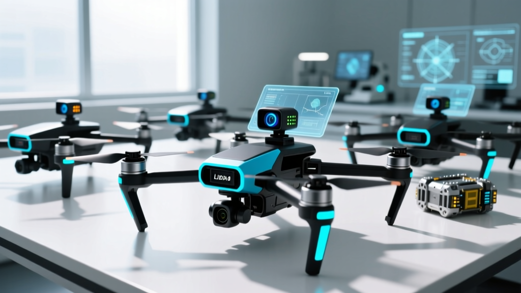
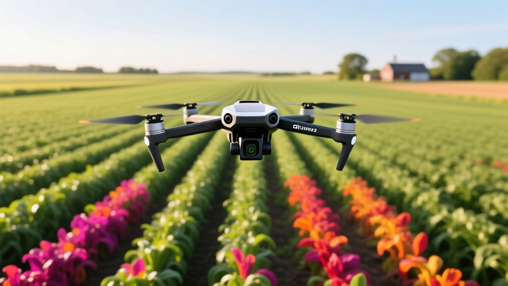
The consumer drone market has bifurcated. While casual aerial photography remains popular, a highly specialized sector has emerged: prosumer and enterprise platforms functioning as serious scientific gadgets for adults. These are not mere flying cameras; they are modular, aerial data acquisition nodes capable of capturing multispectral reflectance, generating centimeter-accurate LiDAR point clouds, and sampling atmospheric particulates. For tech enthusiasts, citizen scientists, and independent researchers, the barrier to entry for high-level geospatial and environmental data collection has never been lower.
The Evolution: From Camera Drones to Citizen Science Platforms
Historically, gathering topographical or environmental data required manned aircraft, expensive surveying crews, and satellite imagery with frustratingly low resolution. The integration of RTK (Real-Time Kinematic) positioning modules into sub-10-pound drones has democratized this process. RTK corrects GPS signal errors in real-time, delivering 1-to-2-centimeter horizontal accuracy without needing ground control points. When paired with specialized payloads, these drones transition from recreational gadgets into vital scientific instruments.
2026 Market Data Highlight
The prosumer scientific drone sector is expanding rapidly. According to industry telemetry, the global market for drone-based environmental monitoring and precision agriculture payloads is projected to surpass $4.2 billion by late 2026, driven heavily by independent contractors and citizen science initiatives utilizing accessible hardware.
Key 2026 Drone Platforms Redefining Scientific Hobbies
To build a reliable aerial laboratory, the base platform must offer exceptional payload capacity, flight time, and API openness. Here are the leading platforms for enthusiasts in 2026.
DJI Mavic 3 Multispectral (Mavic 3M)
Priced around $4,799, the Mavic 3M is the undisputed entry point for botanical and agricultural citizen science. It features a 4/3 CMOS RGB camera alongside a dedicated multispectral sensor capturing four narrow bands: Green (560nm ± 16nm), Red (650nm ± 16nm), RedEdge (730nm ± 16nm), and Near-Infrared (860nm ± 26nm). This specific band configuration allows users to calculate precise NDVI (Normalized Difference Vegetation Index) maps, revealing plant stress and chlorophyll levels weeks before they are visible to the naked eye. The built-in sunlight irradiance sensor on the top of the airframe ensures radiometric calibration remains accurate regardless of cloud cover shifts during a flight.
Autel Robotics EVO Max 4T
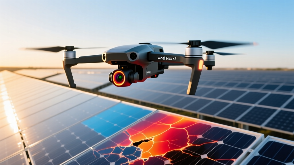
For thermodynamics and structural analysis, the EVO Max 4T ($7,500) is a powerhouse. It bypasses standard geofencing restrictions (in compliant, authorized zones) and packs a quad-payload gimbal: a 50MP zoom camera, a 720p thermal imager, a 1080p wide camera, and a laser rangefinder. The thermal sensor, with a noise equivalent temperature difference (NETD) of <40mK, allows independent researchers to conduct non-destructive testing on solar arrays, identify heat leaks in building envelopes, and track nocturnal wildlife populations with startling clarity.
The Accessory Ecosystem: Building Your Scientific Payload
The true value of drones as scientific gadgets for adults lies in the third-party accessory ecosystem. Standard camera drones can be retrofitted with specialized drop-mechanisms, sniffers, and advanced LiDAR units.
| Payload / Accessory | Primary Use Case | Avg. Cost (2026) | Platform Compatibility |
|---|---|---|---|
| MicaSense RedEdge-P | High-res multispectral / Panchromatic mapping | $3,800 | DJI Matrice, Skydio, Custom builds |
| SnifferDRONE 5 | Atmospheric gas / particulate sampling | $6,200 | DJI M300/M350 RTK |
| GreenValley LiAir V70 | Penetrating LiDAR for forestry biomass | $14,500 | DJI Matrice series |
| AquaDrone Water Sampler | Automated aquatic vial collection | $1,200 | Universal drop-mount systems |
Atmospheric and Aquatic Sampling
Environmental monitoring is a massive growth area for enthusiast scientists. Devices like the SnifferDRONE 5 allow users to fly directly into emission plumes or volcanic vents, capturing real-time data on CO2, SO2, and volatile organic compounds (VOCs). For hydrologists and marine biologists, automated water sampling drop-mechanisms can lower sterile vials into lakes or estuaries, trigger a collection at a specific GPS coordinate and altitude, and return the sample to the shore for lab analysis, entirely eliminating the need for a boat.
Data Processing Pipelines: The Hidden Half of the Science
Capturing the data is only 30% of the scientific workflow; processing it is where the actual science occurs. In 2026, edge-computing and cloud-based photogrammetry have drastically reduced rendering times.
- Pix4Dmapper / Pix4Dfields: The industry standard for generating orthomosaics and NDVI maps. Pix4Dfields is optimized for rapid, on-site agricultural processing without requiring an internet connection.
- DJI Terra: Highly optimized for DJI hardware, offering rapid 3D reconstruction and LiDAR point cloud processing. The 2026 update includes native AI-driven defect recognition for structural inspections.
- WebODM (OpenDroneMap): A free, open-source alternative that runs locally. It is heavily favored by citizen scientists and academic researchers who require full transparency over the photogrammetry algorithms and cannot rely on cloud-based proprietary software.
Future Outlook: AI Telemetry and Swarm Mapping
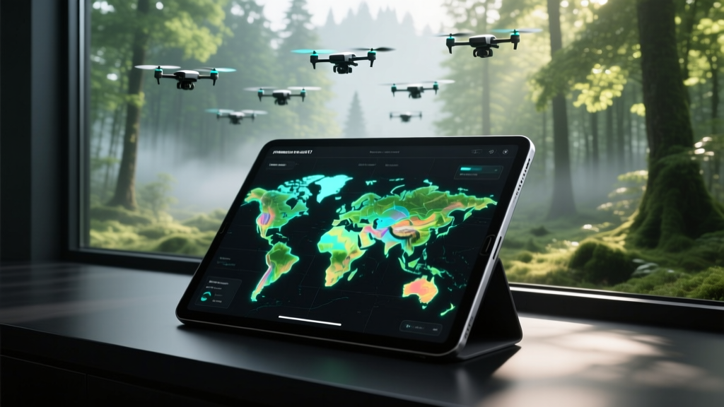
Looking toward 2027 and beyond, the concept of drones as scientific gadgets for adults will shift from single-pilot operations to autonomous swarm logic. Platforms like the Skydio X10 are already utilizing onboard NVIDIA Jetson processors to perform edge-computing. Instead of capturing a photo and analyzing it later, the drone identifies a specific anomaly (e.g., a diseased tree or a cracked pipeline joint) mid-flight, autonomously alters its flight path to orbit the object, and captures the necessary macro-photography before returning to base.
"The democratization of geospatial data is no longer just about giving people better cameras. It is about deploying flying edge-computers that can understand their environment in real-time, turning hobbyists into active contributors to global climate and ecological databases."
— Dr. Aris Thorne, Geospatial Systems Researcher
Furthermore, swarm mapping—where three to five micro-drones communicate via localized mesh networks to map a 500-acre area simultaneously—will move from military applications to civilian ecological surveying. This will reduce data acquisition times from days to mere minutes.
Regulatory Realities for Citizen Scientists
Operating scientific payloads often pushes the boundaries of standard recreational drone laws. If you are collecting data for any commercial, academic, or compensated purpose, you must operate under FAA Beyond Visual Line of Sight (BVLOS) and Part 107 regulations.
Even for pure hobbyists, attaching heavy LiDAR payloads or dropping water samplers changes the aircraft's weight class and center of gravity, often requiring the drone to be registered as a heavier unmanned aircraft. Researchers collaborating with government bodies should review the USGS Uncrewed Aircraft Systems project guidelines, which provide rigorous frameworks for data accuracy, airspace safety, and environmental non-interference. Always verify local airspace restrictions via LAANC (Low Altitude Authorization and Notification Capability) before deploying sensitive scientific payloads near controlled zones.
Written by
Priya SharmaPriya Sharma holds a Ph.D. in Acoustical Engineering from the University of Southampton and a B.Tech in Electronics from IIT Delhi. She has spent 9 years as a consumer electronics journalist, with deep specialization in audio equipment, camera systems, and assistive technology. Priya is an active member of the Audio Engineering Society (AES) and has co-authored papers on spatial audio perception published in the Journal of the Acoustical Society of America. Her reviews of headphones, portable DACs, and studio monitors include objective measurements using Audio Precision analyzers alongside subjective listening tests. She also serves on the advisory board of the Global Accessibility Reporting Initiative (GARI), evaluating mobile devices for users with visual and hearing impairments.